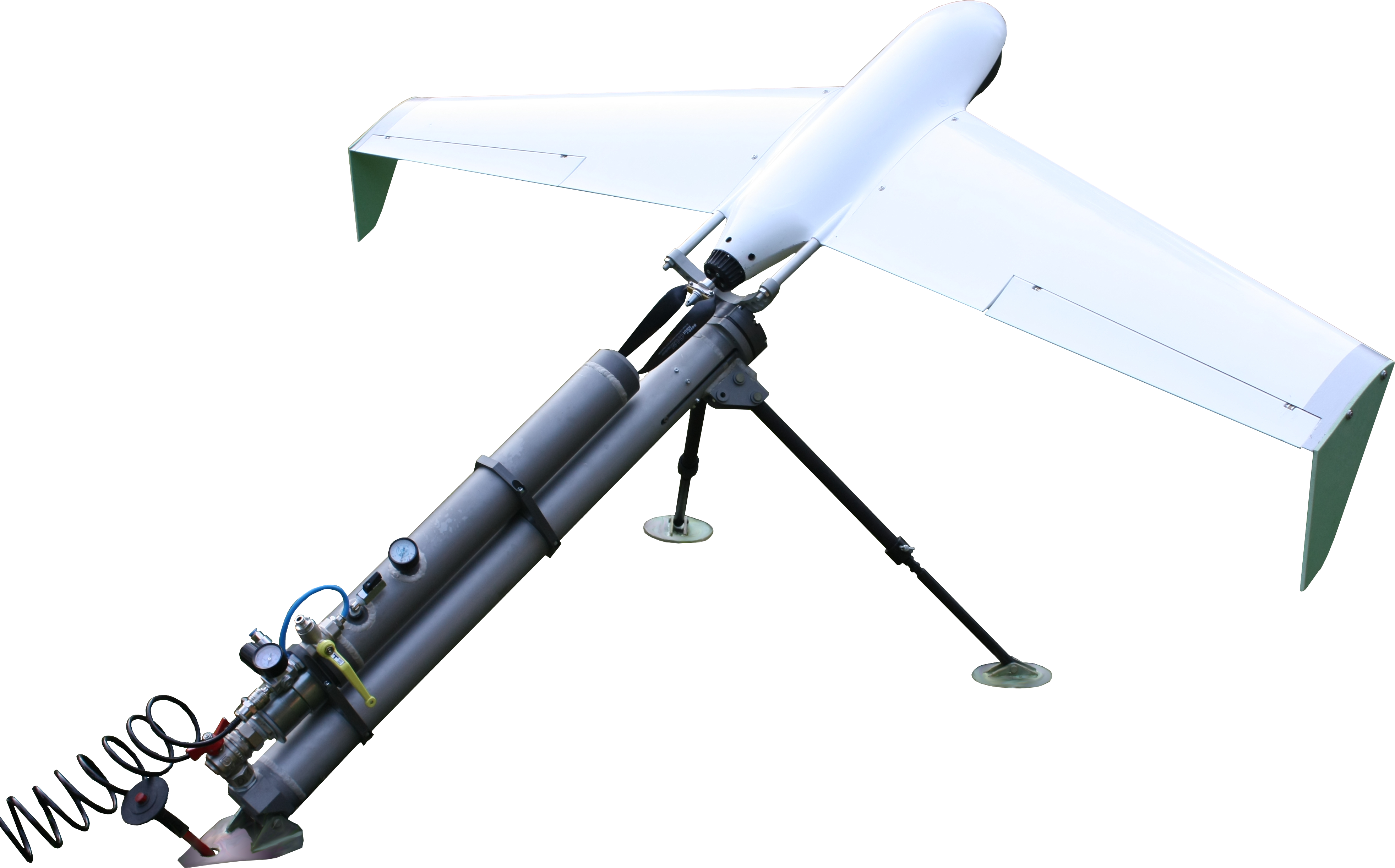
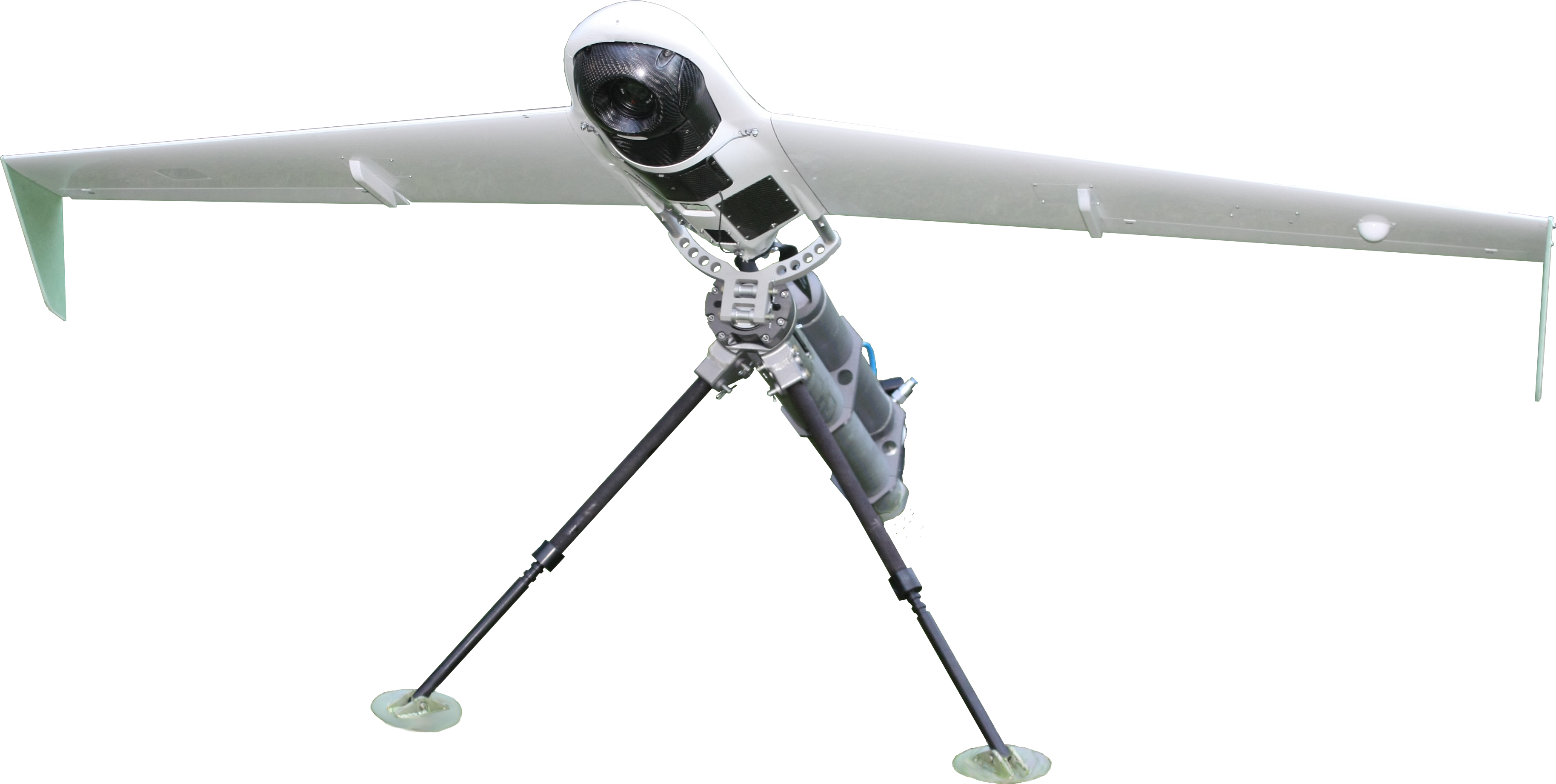
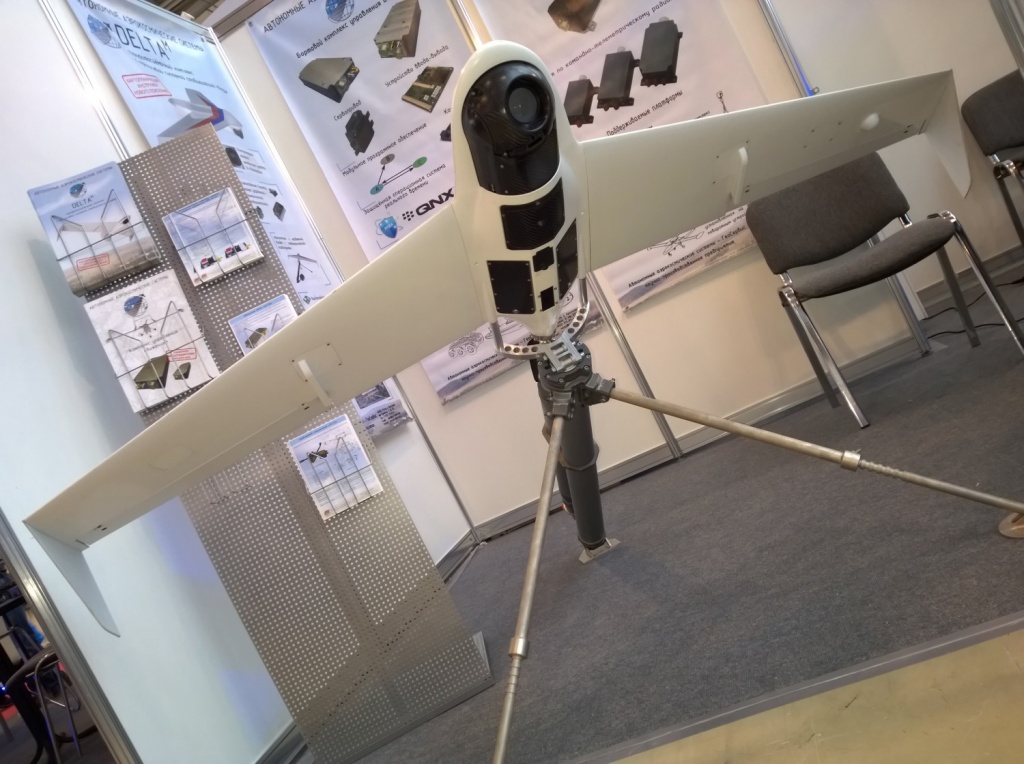
DELTA-M

Applications
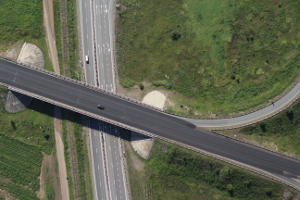
- Aerial photography
- Real-time video capturing
- Multi-spectral survey
Tasks performed
Geodesy
- Creation of maps and large-scale plans - up to 1:500 (optional)
- Creation of three-dimensional elevation models
Mining
- Calculation of mine working volumes
- Real-time monitoring
- Control of piling and open-pit edges condition
Road industry
- Road surface condition assessment
- Longitudinal and transverse profile composition
- Cartographic support for GIS
Forestry
- Monitoring the forest plantation condition
- Detection of illegal logging
- Observation over animals
Agriculture
- Digital field mapping
- Calculation of NDVI and other indices
- Land inventory formation
Construction
- Planning of construction works
- Quality control
- Engineering survey
Science
- Equipment testing
- R&D in the field of ecology, nature management, instrument making
Emergencies
- Objects and people detection
- Monitoring the natural disasters
Major application properties
- Automatic pre-flight diagnostics
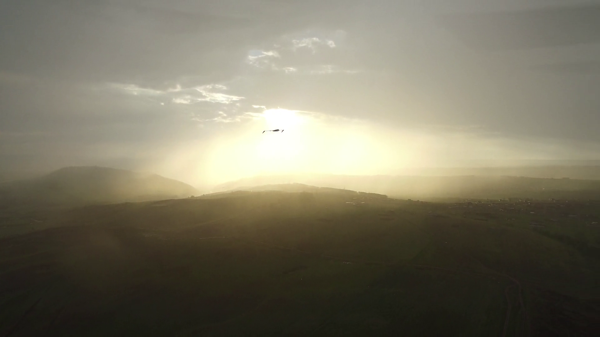
- Flight duration up to 2.5 hours
- Different types of payload: digital camera, multi-spectral camera, video camera, thermal camera
Key features and properties
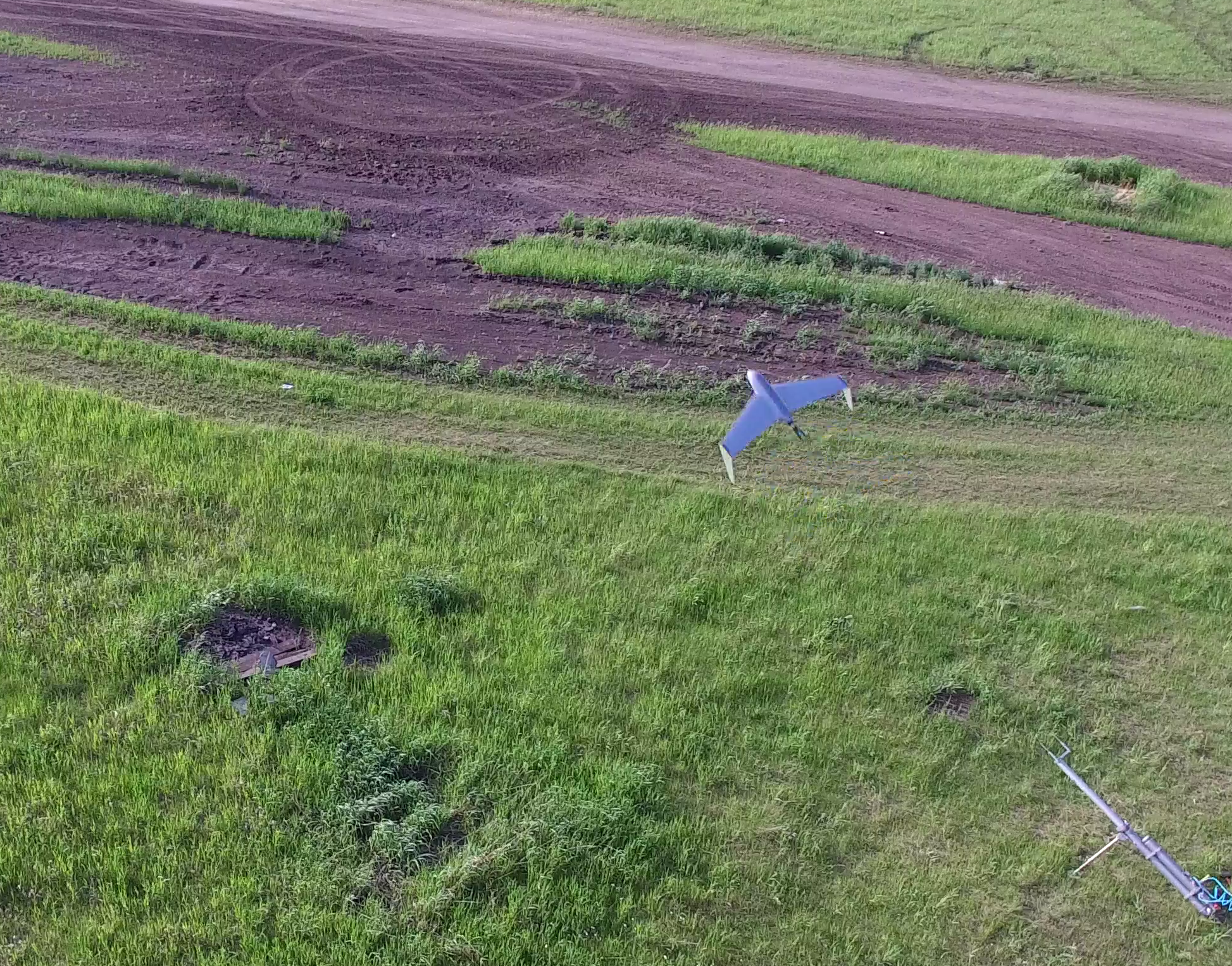
- Automatic take-off and landing
- Obtaining the cartographic materials and digital terrain models with a scale of up to 1:500
- L1/L2 GLONASS/GPS may be optionally integrated in the system thus improving the accuracy of photo geographical reference and reducing the amount of on-ground works
- Free technical support for 4 years
- Wide range of operating temperatures from -35 to +45°С
Specifications
|
Flight performance |
|
|
Cruise velocity |
60-80 km/h |
|
Flight altitude |
100-3000 m |
|
Flight duration |
up to 2.5 hours |
|
Maximal range of radio communication |
50 km |
|
Payload types |
photo camera video camera multi-spectral camera thermal camera |
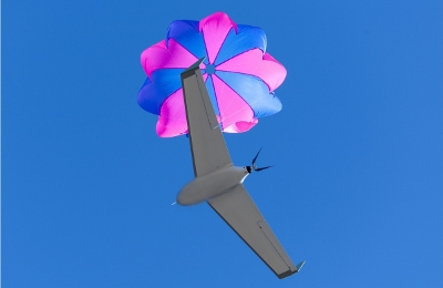
| Take-off and landing | catapult, parachute |
| Environmental resistance | |
| Maximal allowable wind speed | 15 m/s |
| Operating temperatures range | From -35 to +45°C |
| Weight and dimensions | |
|
Takeoff weight |
9 kg |
|
Payload weight |
Up to 1.75 kg |
|
Wing span |
2100 mm |
|
Length |
840 mm |
|
Height |
200 mm |
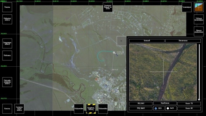
Example performance of the rotary platform "Rakurs-Nadir2" for UAV "DELTA-M" in aerial photography:
The results were obtained under the following conditions: altitude 250 m; wind speed 2-4 m/s.
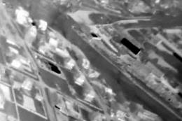
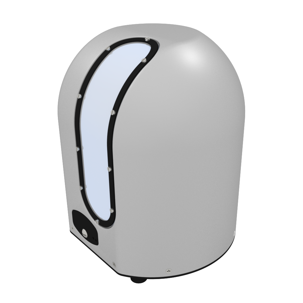
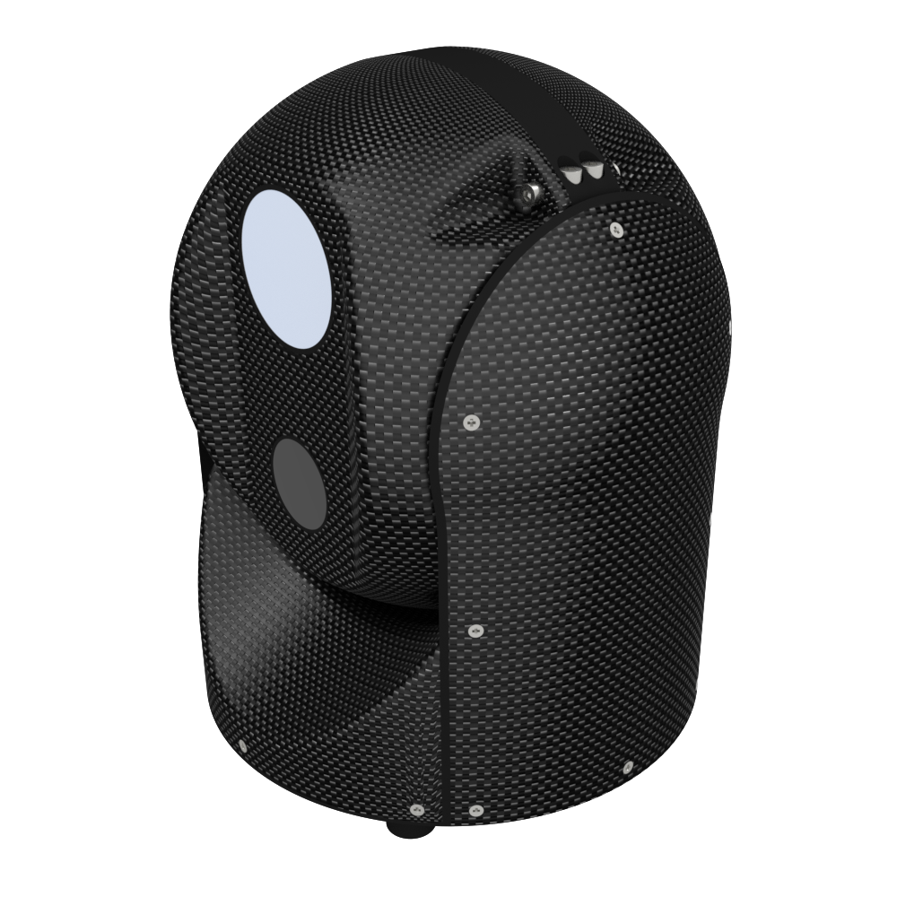
This image shows the work of the "Rakurs-Nadir2" payload:
with compensation on two axes - roll and pitch, with compensation on three axes - roll, pitch and course
 |
|
Use of three-axis stabilization reduces the quantity of photos needed and time needed for processing
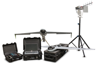
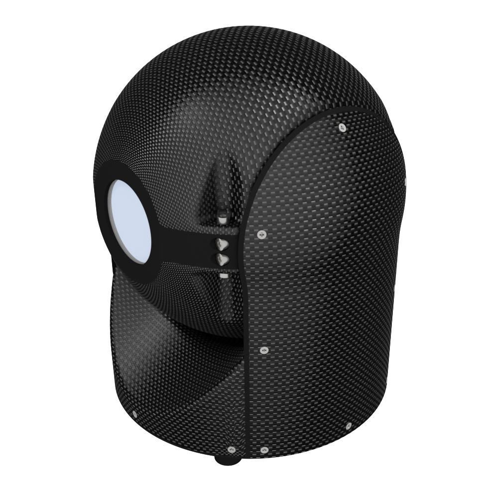
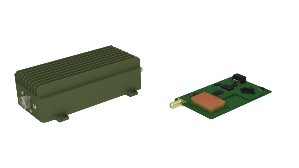
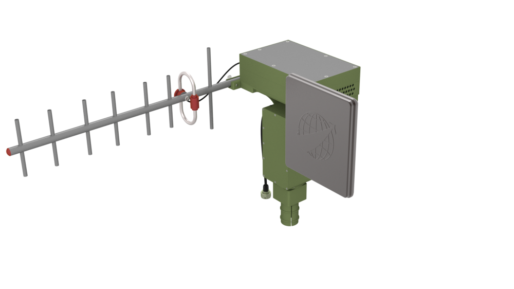
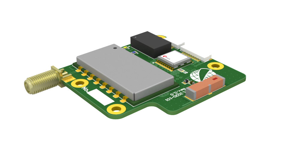
Device structure (picture)