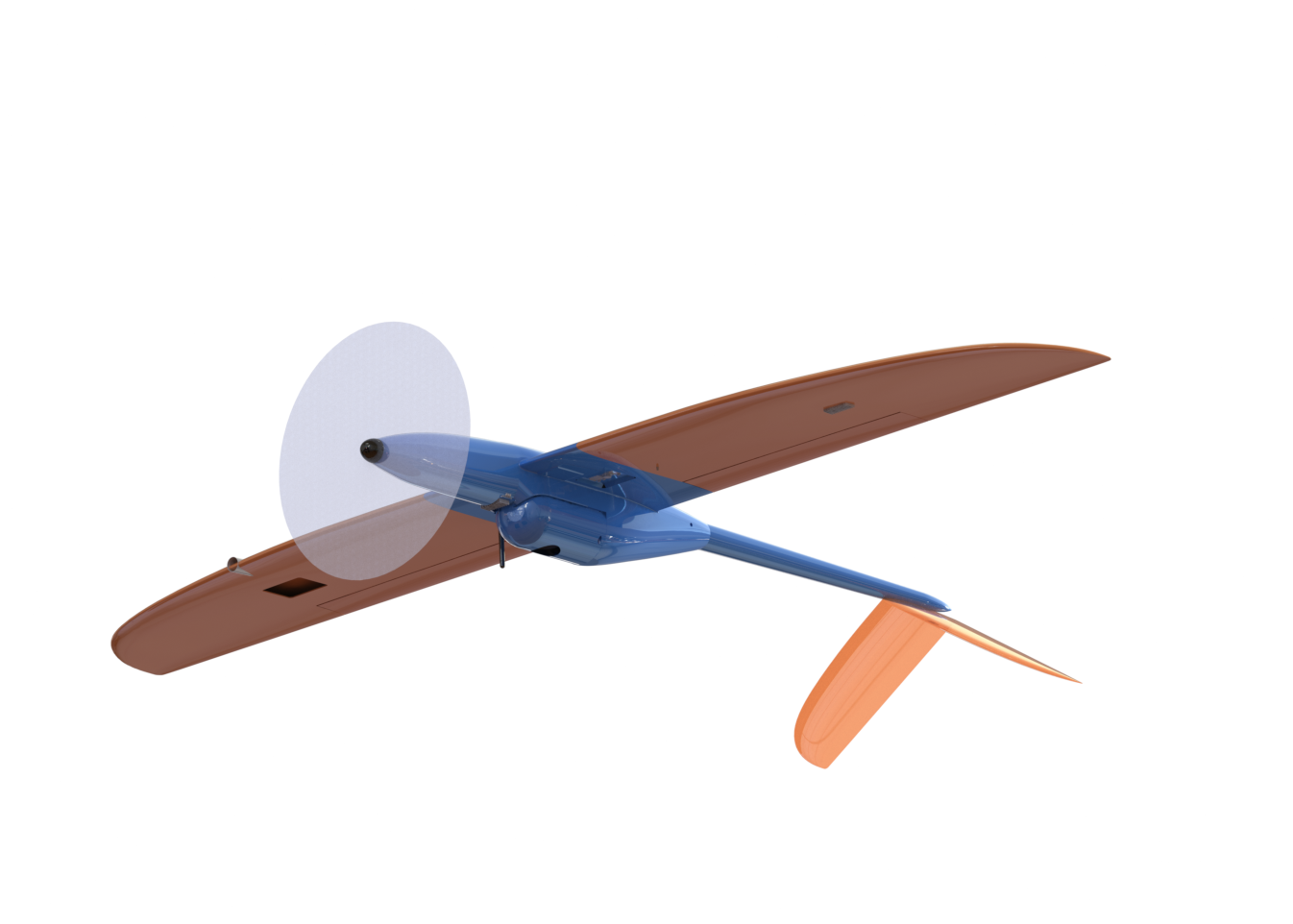
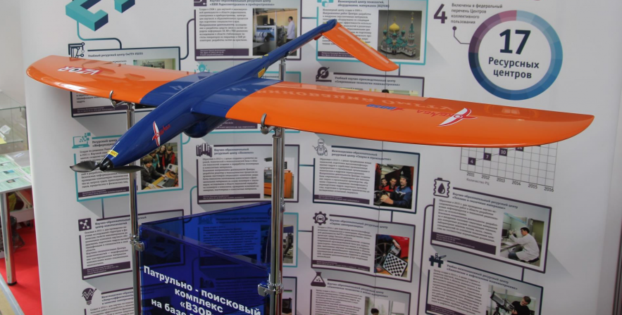
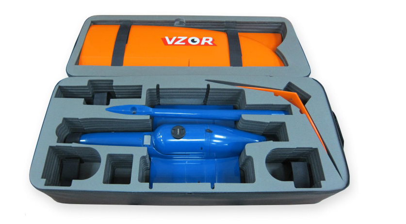
VZOR

The complex was developed by OKB MBA in cooperation with Autonomous Aerospace Systems in the part of the flight control system

Applications
- Aerial photography
- Multi-spectral survey
Tasks performed
Geodesy
- Creation maps and large-scale plans - up to 1:500 (optional);
- Creation of three-dimensional elevation models.
Mining
- Mine working volume calculation
- Control of piling and open-pit edges condition
Road industry
- Assessment of the road surface condition
- Building the longitudinal and transverse profiles
- Cartographic support for GIS
Forestry
- Monitoring of the forest plantation condition
- Detection of illegal logging
Agriculture
- Electronic map fields creation
- Calculation of NDVI and other indices
- Land inventory formation
Construction
- Construction work planning
- Engineering survey
Major application properties
- Flight duration up to 3 hours (optional)
- Operating temperatures range from -40 to + 45°С
Key features and properties
- Competitive UAV in the low price range
- Launches by hands
Specifications
|
Flight performance |
|
| AV velocity | 80-120 km/h |
| Flight altitude | 50-3000 m |
| Flight duration | up to 2.5 hours* |
| Maximal range of radio communication | 50 km |
| Take-off and landing Hand/parashute | Hand/parashute |
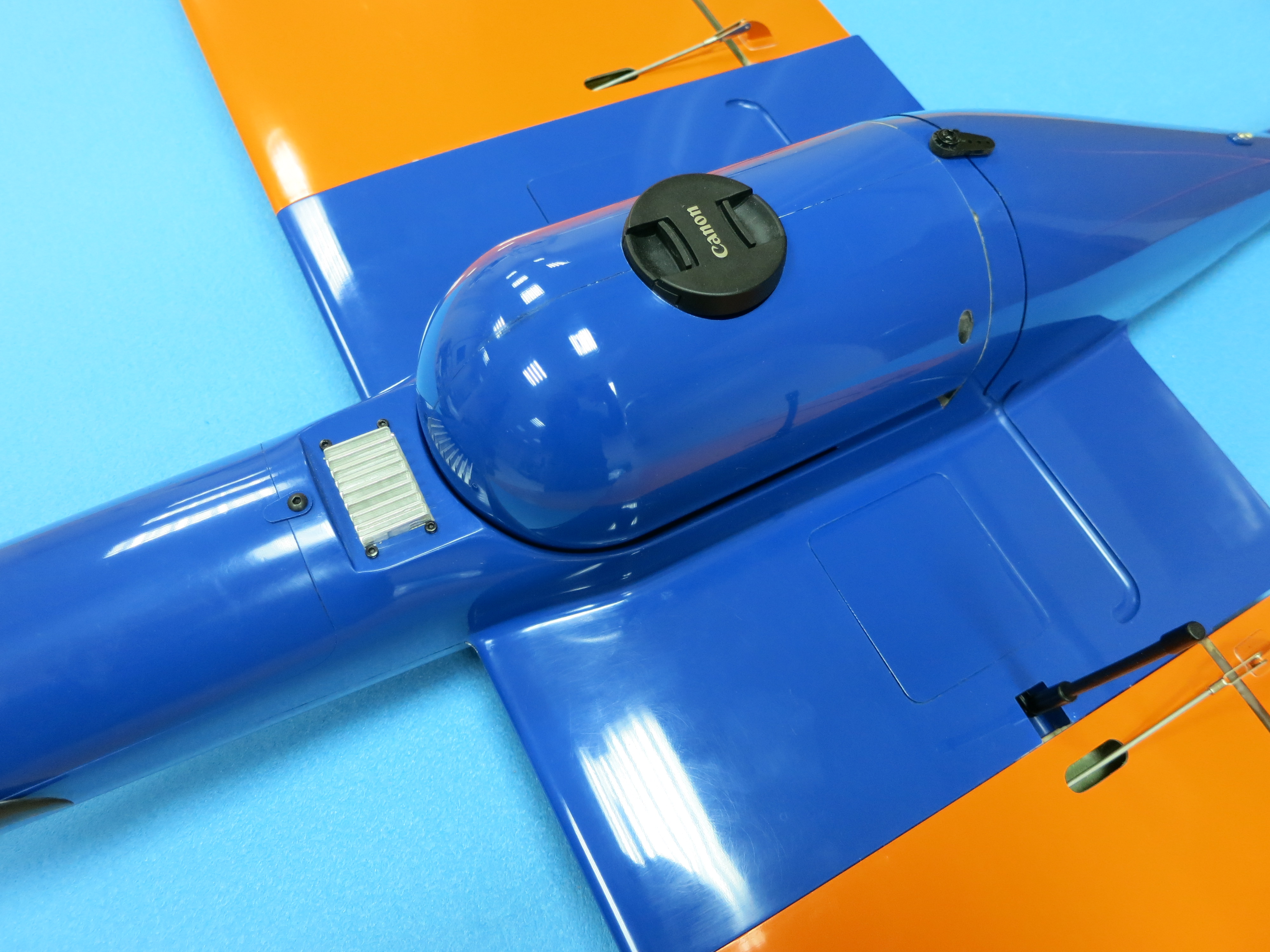
| Payload types |
photo camera multi-spectral camera |
|
|
|
Environmental resistance |
|
| Maximal allowable wind speed up to 10 m/s | up to 10 m/s |
| Operating temperatures range | -40 to +45 °C |
|
Weight and dimensions |
|
| Takeoff weight 4.8 kg | 4.8 kg |
| Payload weight up to 1.5 kg | 1.5 kg |
| Wing span 2 m | 2 m |
| Length 1,3 m | 1,3 m |
|
* optional configuration with a flight duration of 3 hours |
|